Arriving via Iceland, I landed in Stavanger (on the south west coast and second largest city in Norway) and was picked up by my buddy Benjamin. We headed to the island of Talgje where he lives. We spent the first few days in and around Stavanger, cycling, gathering maps for potential cycle routes and preparing for our 10 day trip.
Our first hike was out to Preikestolen, 'the Priest's Pulpit' a huge block of granite that rises 600 meters above Lysefjord. It was a rainy day but we enjoyed the 2 hour hike in, met some folks from Vancouver, and hiked the hour and a half out.

I got to participate in the May 17 Independance Day celebrations. This is a big event for Norwegians, everyone dressing in their traditional costumes called 'bunad'. We attended a neighborhood breakfast, walked in the local parade singing songs and waving the flag. We finished at the local community centre where there were speeches and the kindergarten entertained us with songs.
A nice lunch was served. Kids were invited outside to join the games - pillow fights on a log, running and cycle races. Adults did the nail driving contest, shooting and horseshoes. Lots of fun. Later on waffels, drinks and ice cream were on sale.
On one sunny day we caught a ferry and cycled around a chain of 6 islands call the Sjernarøy islands all of which are joined by bridges. Not much traffic and beautiful scenery, green farms, sheep and cows, the islands surrounded by ocean and sailboats.

Finally, we loaded the van and headed out north to catch a ferry Mortavika to Vangsnes where we headed up Sørfjorden to Odda, Kinsarvik and another ferry to access the road to Voss. We camped in Voss, which is like a Canmore with many outdoor stores, hiking areas, cycling, skiing and climbing opportunities for like minded folks!

On to Gudvangen in the rain, stopping at a hotel high in the mountains which reminded me of Switzerland with deep valleys, steep hillsides, farms, winding roads, etc. From there to Fløm where there is a train through the mountain to Myrdal but unfortunately was not running due to a rock slide. Then on through the longest tunnel in the world - 24.5 km long - Laerdalstunneln.
Another ferry to Kaupanger and camping in Sogndal. It rained the next day so we decided to do some mountaineering on Nigardsbreen glacier where the rain was not so much an issue. It was interesting to note that it had receded by about 20 meters since I was climbing there 5 years ago!

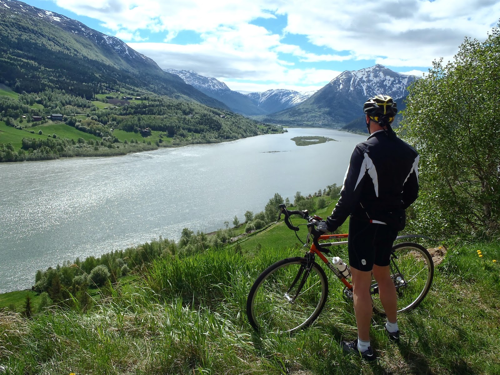
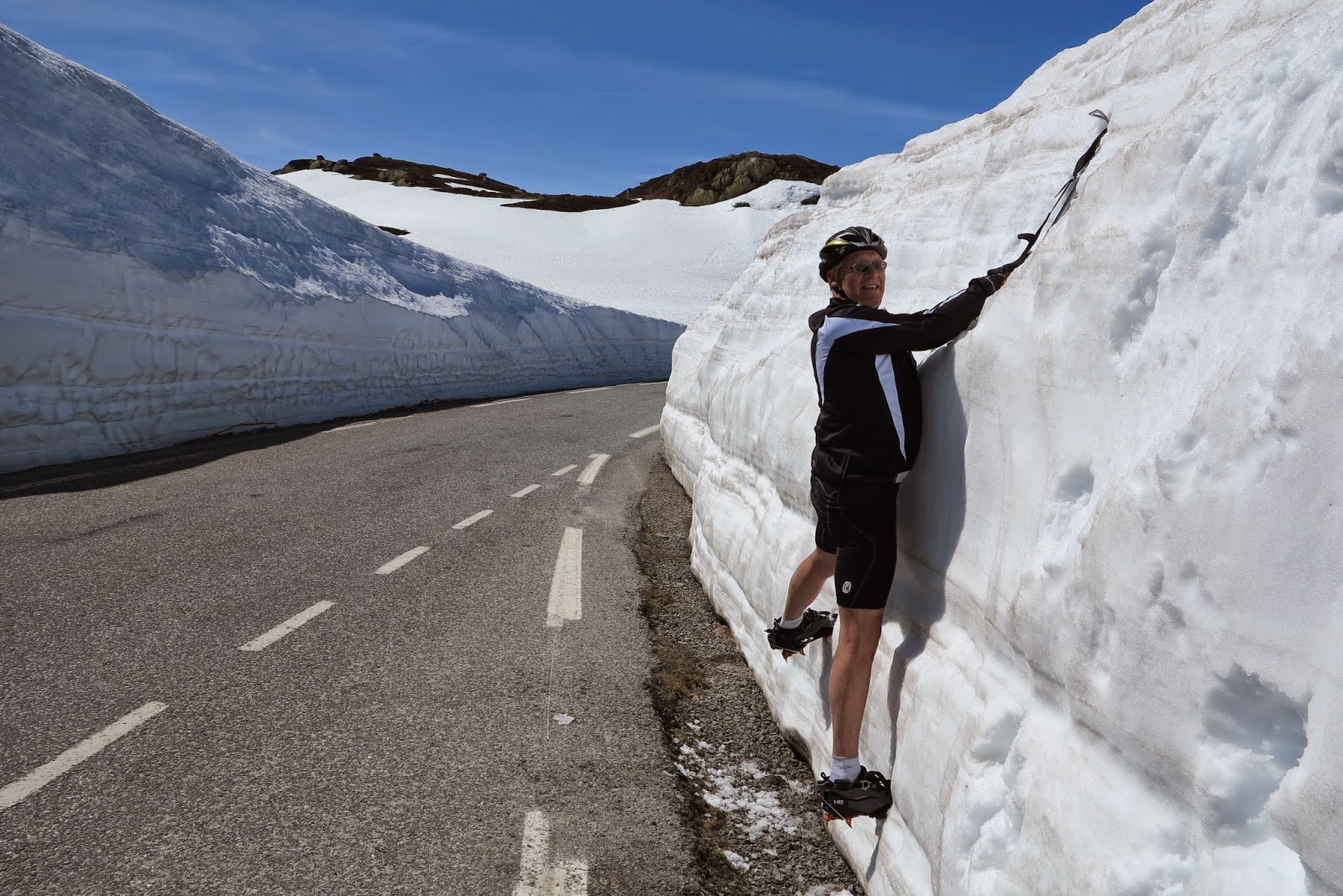
Then up and over the Jotunheimen in rain to Lom on narrow roads lined with steep snow still melting from winter's accumulation. Lom was beautiful, the sun came out and we found a nice cycling loop along the lake. We drove to Otta and camped there in a campground on the river which was flowing heavy due to meltwaters and recent rains. The next day we saw farms and campgrounds flooded and a few homes and cabins under water. The main road E6 was close to flooding and it rained all the way to Oslo, where the sun came out. Lunch in Oslo and on to Kongsberg hostel.


Another sunny day took us to Notodden, the Heddal Stavkirkje (stave church) and nice cycle paths along the road. Then headed to Dalen where we found the Telemark Canal system and rode one leg of the area from Ulefoss to Lunde in a loop. This canal was built in the mid 1800's and still operational today. A boat leaves Dalen at 8:10am daily through the canals and back by 6pm in the evening.
Our final day was driving from Dalen to the coast up and over the south Hardanger Vida where huge walls of snow still lined the roads. We kept dropping elevation through beautiful farms, waterfalls and out to Stavanger. All in all, a great cycling trip in spite of frequent rain, we had enough sun to really enjoy many of the locations in Norway. (I took detailed notes to put together a 2 week cycle tour for 2015.)


